Description:
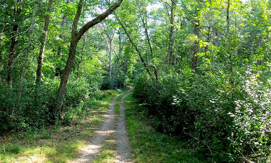
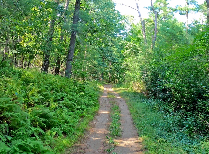
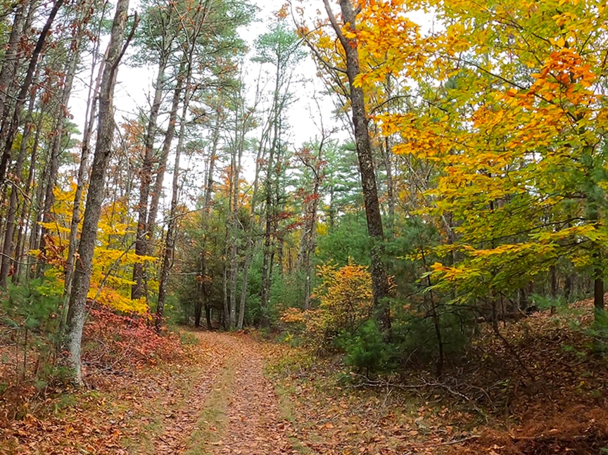
There is an extensive network of beautiful wooded trails throughout this section of Willowdale State Forest that is enjoyed by a wide variety of trail users. There are fire roads great for hiking (good for joggers/strollers), and extensive single track for mountain biking. The Bay Circuit Trail winds through, connecting Bradley Palmer State Park to the south with Cleveland Farm State Forest to the West. Bring this map or navigate with our maps via smartphone with the free Avenza Maps App, as it is easy to get lost!


ECTA Map:
Enjoy our free maps and please consider making a donation to support ECTA.


For ECTA Webmap Sponsorship, click here.
Activities:
- Hiking
- Running
- Horseback Riding
- Dog Walking
- Mountain Biking
- Birding (wooded and swamp)
- Fire roads are good for stroller/jogger.
Notes/Regulations:
- No motorized vehicles
Directions/Location:
There is a parking area on Linebrook Road across from Marini’s Farm pond and another on Topsfield Road (1/2 mile west of Winthrop St.) just west of the footbridge across the Ipswich River to Bradley Palmer State Park (or park at the footbridge.)
Owner:
Massachusetts Department of Conservation and Recreation
- Ipswich
- Topsfield
Leave a Reply